
Recent satellite images to check snow before a hike
The Satellite récent (recent satellite) base map shows the latest images taken by the Sentinel-2 (European Copernicus programme) and Landsat (NASA) satellites. Handy to check whether there is still snow where you plan to walk, or what a valley looks like this season.
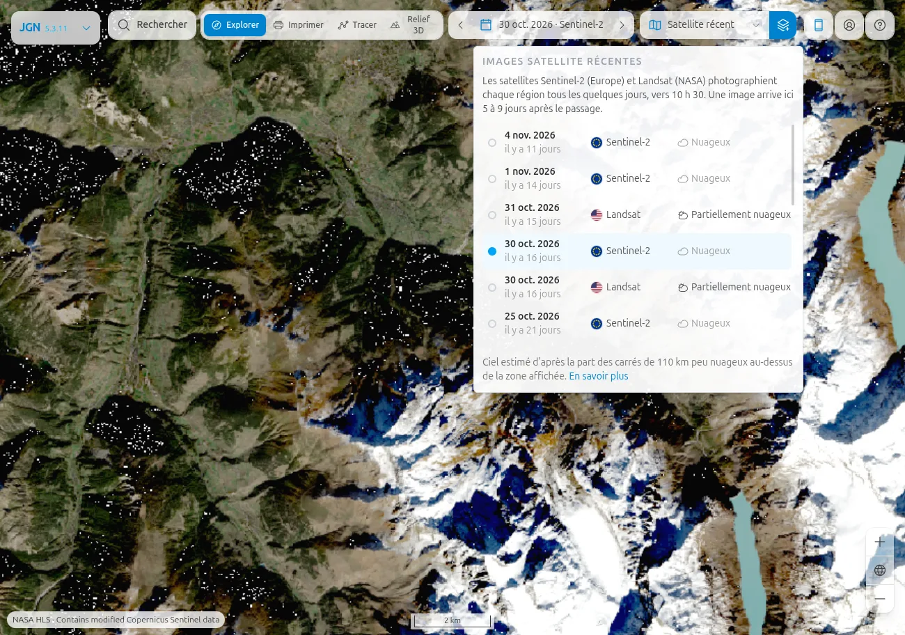
Choosing an image
Open the list of passes
Click the date at the top of the map: the list shows the passes of the last 60 days over the displayed area, with their source and the sky conditions.
Flip through the dates
The arrows on either side of the date go to the previous or next image, without opening the list.
Moving to another area
The image stays the same when you move around. If it does not cover the new area, a warning offers to pick another one.
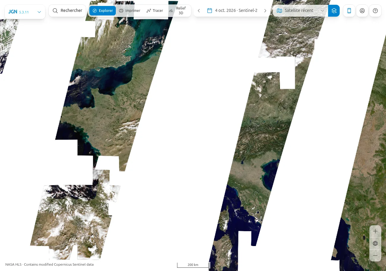
Good to know
- The same place is photographed every 2 to 5 days or so, around 10:30 am. An image reaches JGN 5 to 9 days after the pass.
- A pass often covers only part of the screen: the rest looks empty.
- The sky shown is an estimate, based on the share of low-cloud 110 km tiles over the displayed area. Only the image really shows where the clouds are.
- A pixel covers about 30 m: enough to see a snowfield or a lake, not a trail.
The images come from NASA's HLS product, which harmonises Sentinel-2 and Landsat data. They contain modified Copernicus Sentinel data.