JGNHelp
FREN
Open the mapMap

General

  • Welcome to JGN
  • Print a map
  • Import a route
  • Find it in Wakabo
  • IGN base maps
  • Super Topo
  • Explore the map in 3D
  • Recent satellite imagery
  • Refuges.info

Drawing a route

  • Draw a route
  • Reroute a section
  • Delete a point
  • Delete a section
  • Anchor a point
  • Loops & direction
  • Roadbook

FAQ

  • FAQ
  • Which map scale for hiking?
  • What is the UTM grid for?

About

  • Need help?
  • Legal notice

Welcome to JGN

JGN is a free tool to explore French IGN topographic maps online, draw a GPX route that follows the trails and print your map, with no sign-up and nothing to install. Built for hiking, it also includes a roadbook to organise multi-day routes: named stops, daily sections, elevation gain per segment and GPX export. To get started:

Explore

Explore

Browse the IGN base maps (Carte IGN, Scan 25, OACI, slopes), OpenStreetMap and many more.
Import

Import

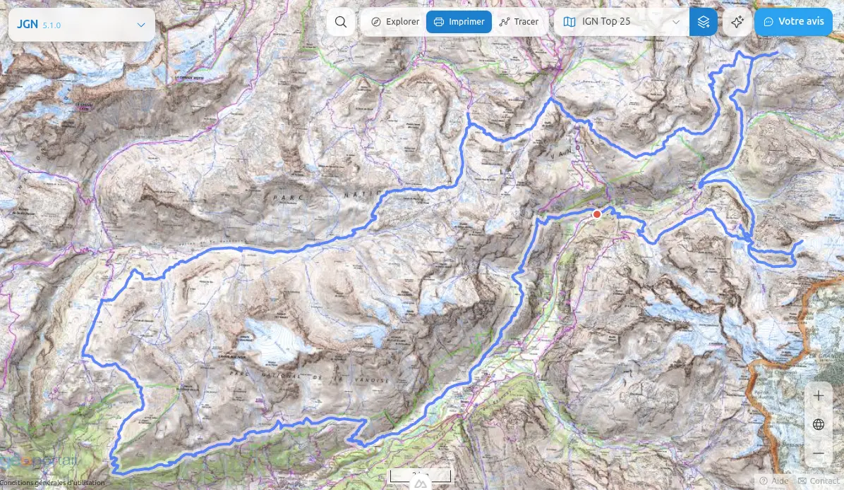
Load an existing GPX or KML file (Visorando, OpenRunner, Strava...) to view, edit or print it.

Draw

Draw

New

Draw a route with the mouse that automatically follows the paths, and build a roadbook with named stops and daily sections.

Print

Print

Print a clean map on the paper size of your choice, or save it as PDF straight from your browser.

What's new
3D relief

3D relief

New

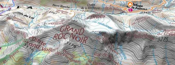
Browse the maps in 3D, tilt the view and fly over your route.

Recent satellite imagery

Recent satellite imagery

New

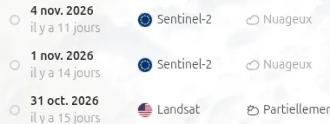
The latest Sentinel-2 and Landsat images, to check for snow where you plan to walk.

RoadbookNew Build a multi-stage route, split it into daily sections and export each segment as GPX.

See also

IGN base maps

Carte IGN or Scan 25? Understand the differences to pick the right base map for your hike.

Refuges.info

Show the huts, shelters and water points of the Refuges.info community right on the map.